
Geologische Karte der südamerikanischen Berge und Täler von AK Johnston, 1852
Original price was: €257.14.€119.53Current price is: €119.53.
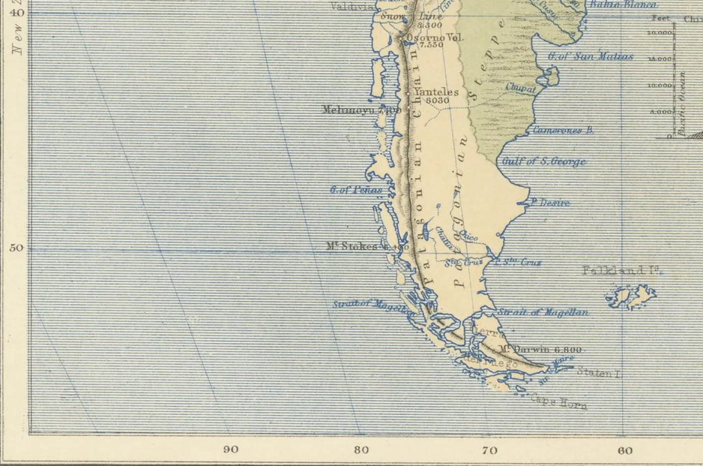
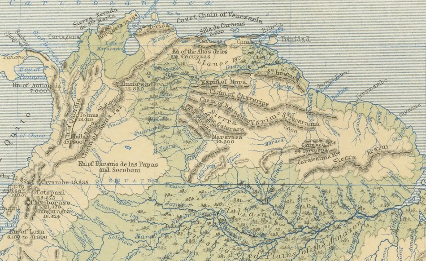
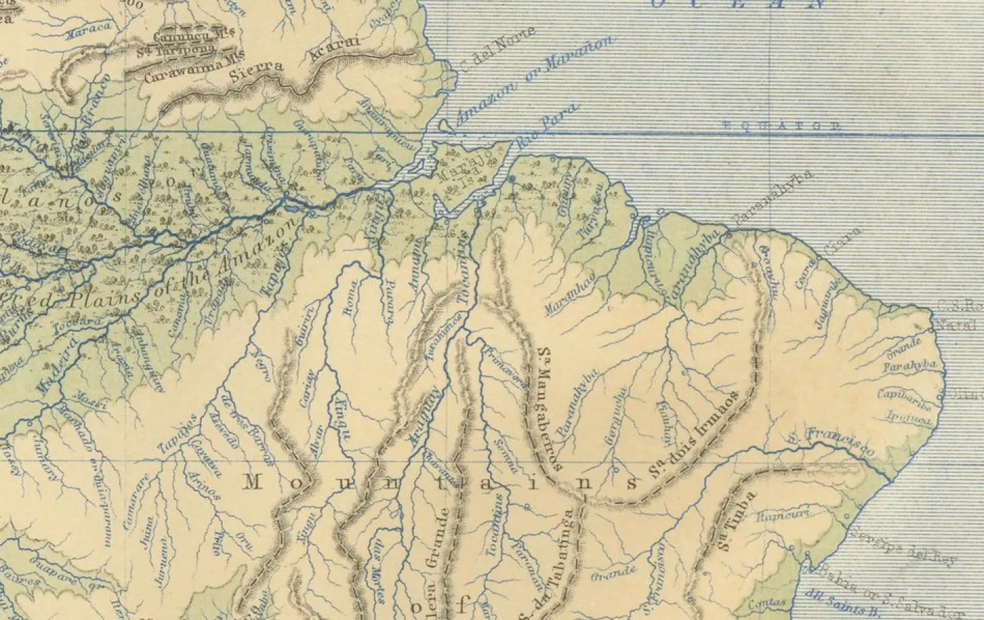
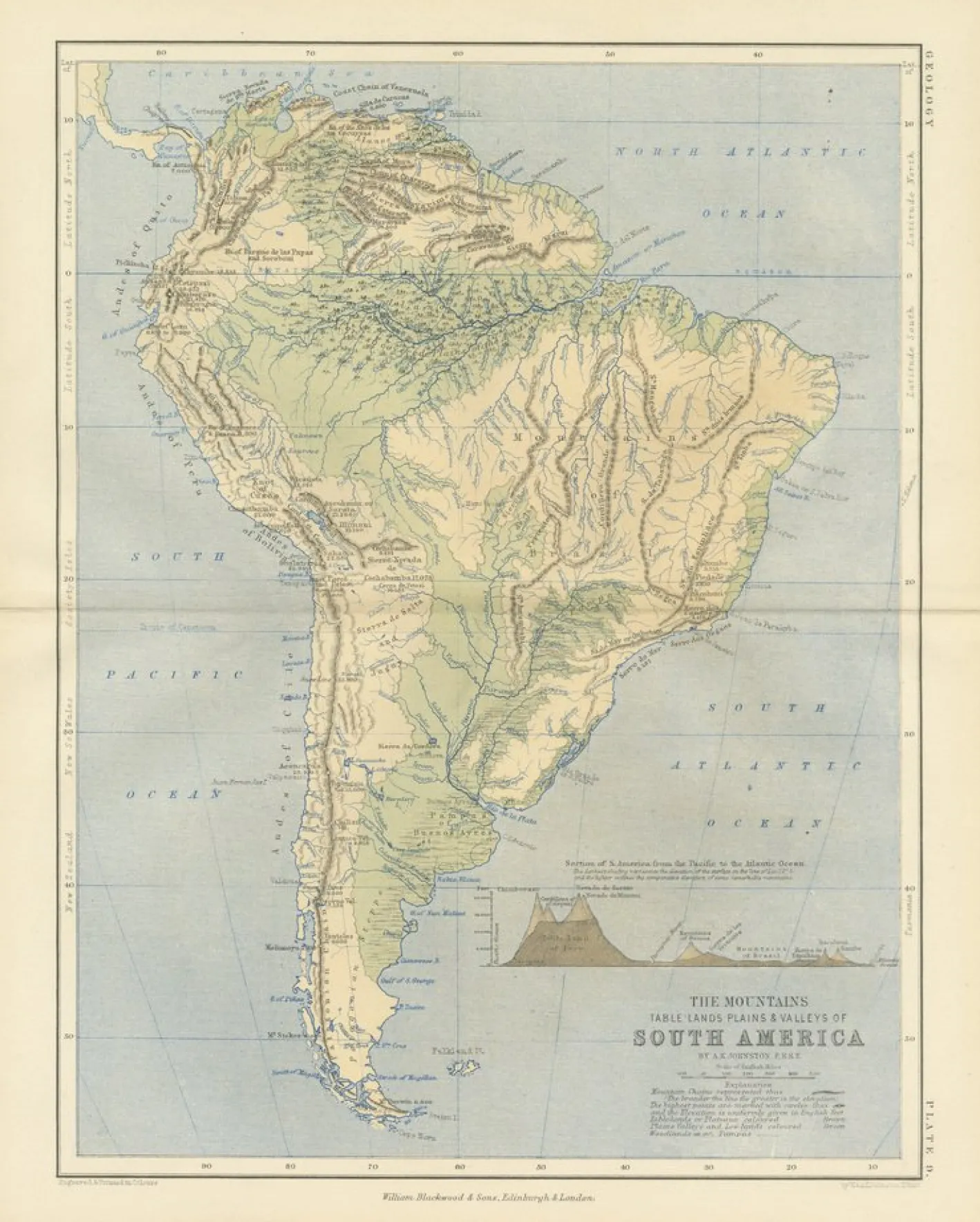
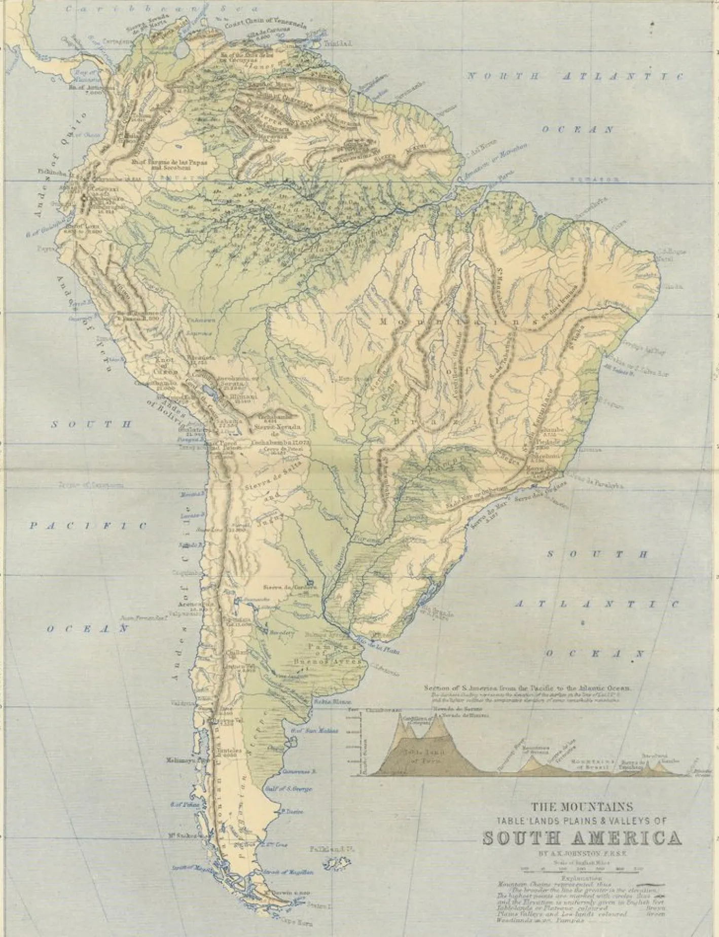
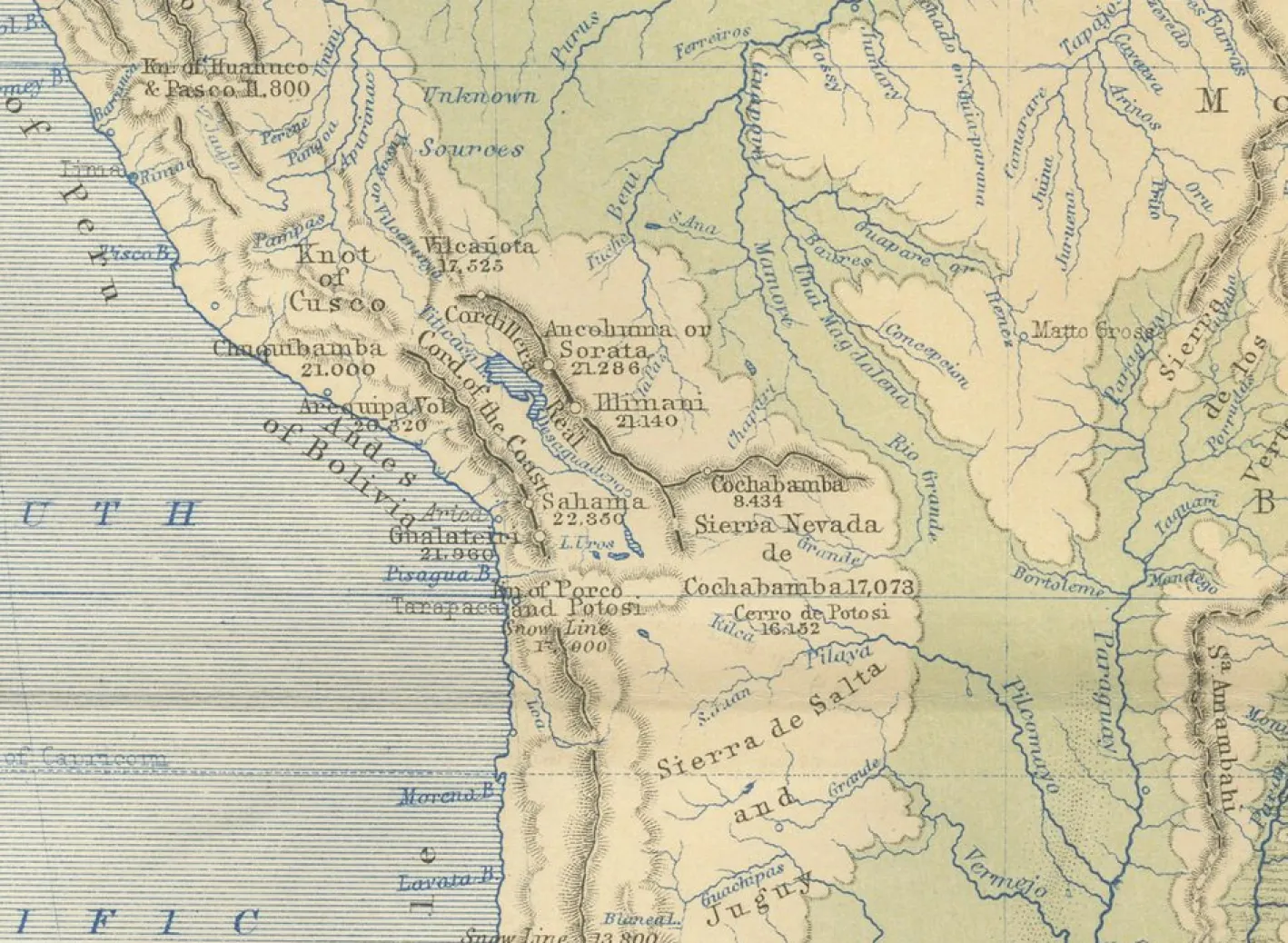
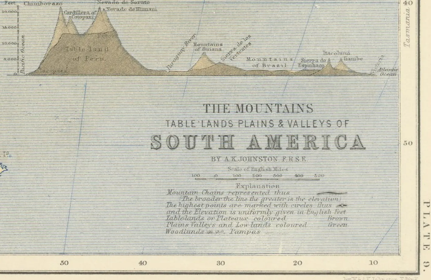
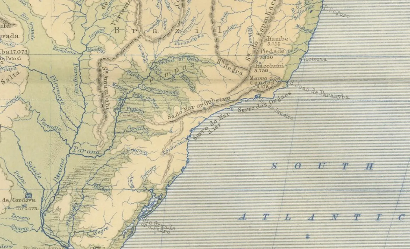
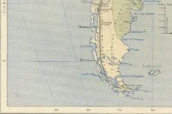
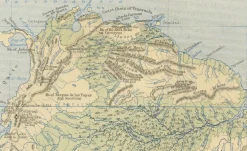
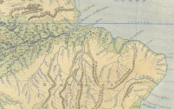
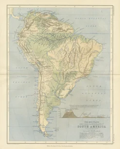
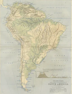
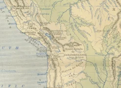
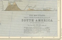
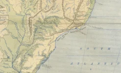
Geological Map of South America by A.K. Johnston – Mountains and Valleys 1852 This antique map titled „The Mountains, Table Lands, Plains & Valleys of South America“ was produced by Alexander Keith Johnston and published in 1852 by William Blackwood & Sons in Edinburgh and London. It is Plate 9 from Johnston’s groundbreaking work *The Physical Atlas of Natural Phenomena*, a pioneering 19th-century publication that helped popularize thematic mapping and scientific cartography. The map provides a physical representation of South America’s terrain, highlighting the dramatic topography of the Andes Mountains along the continent’s Pacific coast and the vast lowlands of the Amazon and La Plata river basins. Using subtle hand coloring, the map distinguishes mountain ranges, highland plateaus, valleys, and plains, rather than political borders. Light tan indicates elevated regions, green is used for valleys and lowland areas, while blue lines trace major rivers and coastlines. Key natural features are clearly labeled, including the Cordillera of the Andes, the Brazilian Highlands, the Pampas, Patagonia, and Tierra del Fuego. The Amazon River and its tributaries dominate the northern interior, while a small inset diagram at lower right provides a vertical section showing comparative mountain heights across the continent from the Pacific to the Atlantic. This map is of special interest due to its emphasis on natural geography over colonial divisions, which was a progressive perspective for the time. Johnston’s work sought to explain the physical world through data visualization, making it useful not only to geographers and scientists, but also to educators, students, and policymakers of the mid-19th century. Alexander Keith Johnston (1804–1871), Geographer in Ordinary to Queen Victoria in Scotland, was renowned for his clarity, scientific rigor, and contribution to thematic mapping. His *Physical Atlas* is widely considered one of the most important scientific atlases ever published. Condition and framing tips: Very good condition with only minor age toning and faint foxing near the edges. The printed area remains clean and sharp. Frame with a warm wood or black frame and use a cream, pale green, or light blue mat to enhance the natural hues and fine linework. Ideal for display in a study, office, or educational setting.
Geologische Karte von Südamerika von A.K. Johnston – Berge und Täler 1852 Diese antike Karte mit dem Titel „The Mountains, Table Lands, Plains & Valleys of South America“ wurde von Alexander Keith Johnston erstellt und 1852 von William Blackwood & Sons in Edinburgh und London veröffentlicht. Es handelt sich um Tafel 9 aus Johnstons bahnbrechendem Werk *The Physical Atlas of Natural Phenomena*, einer bahnbrechenden Publikation des 19. Jahrhunderts, die zur Popularisierung der thematischen Kartierung und der wissenschaftlichen Kartografie beitrug. Die Karte bietet eine physische Darstellung des südamerikanischen Geländes und hebt die dramatische Topografie der Anden entlang der Pazifikküste des Kontinents sowie die riesigen Tieflandgebiete des Amazonas- und La-Plata-Flussbeckens hervor. Durch die subtile Einfärbung von Hand unterscheidet die Karte zwischen Gebirgszügen, Hochebenen, Tälern und Ebenen und nicht zwischen politischen Grenzen. Helles Hellbraun kennzeichnet erhöhte Regionen, Grün wird für Täler und Tieflandgebiete verwendet, während blaue Linien große Flüsse und Küstenlinien nachzeichnen. Die wichtigsten natürlichen Merkmale sind deutlich gekennzeichnet, darunter die Andenkordillere, das brasilianische Hochland, die Pampa, Patagonien und Feuerland. Der Amazonas und seine Nebenflüsse dominieren das nördliche Landesinnere, während ein kleines Inset-Diagramm unten rechts einen vertikalen Schnitt zeigt, der die vergleichbaren Gebirgshöhen auf dem Kontinent vom Pazifik bis zum Atlantik darstellt. Diese Karte ist von besonderem Interesse, da sie den Schwerpunkt auf die natürliche Geographie legt und nicht auf die koloniale Aufteilung, was für die damalige Zeit eine fortschrittliche Perspektive war. Johnstons Arbeit versuchte, die physische Welt durch die Visualisierung von Daten zu erklären, was sie nicht nur für Geographen und Wissenschaftler nützlich machte, sondern auch für Pädagogen, Studenten und politische Entscheidungsträger in der Mitte des 19. Alexander Keith Johnston (1804-1871), Geograph im Dienste von Königin Victoria in Schottland, war bekannt für seine Klarheit, wissenschaftliche Strenge und seinen Beitrag zur thematischen Kartierung. Sein *Physical Atlas* gilt weithin als einer der wichtigsten wissenschaftlichen Atlanten, die je veröffentlicht wurden. Zustand und Rahmungstipps: Sehr guter Zustand mit nur leichter Alterstönung und schwacher Stockfleckigkeit in den Randbereichen. Der Druckbereich bleibt sauber und scharf. Ein Rahmen aus warmem Holz oder ein schwarzer Rahmen und ein cremefarbenes, hellgrünes oder hellblaues Passepartout unterstreichen die natürlichen Farbtöne und die feine Linienführung. Ideal für die Präsentation in einem Arbeitszimmer, Büro oder in einer Bildungseinrichtung.
Klicken Sie hier für die vollständige BeschreibungSchließen
| Jahr | 1852 |
|---|---|
| Produktionszeitraum | Vor 1890 |
| Stil | Vintage |
| Zustand | Sehr gut — Dieser Vintage/antike Artikel hat keine Mängel, kann jedoch leichte Gebrauchsspuren aufweisen. |
| Artikelnummer | YFW-2289992 |
| Details über Schäden und Restaurierungen |
Leichte Gesamttonung in den Randbereichen
Light overall toning near the margins
Automatisch generierte Übersetzung |
| Material | Papier |
| Farbe | Schwarz, Blau, Cremeweiß, Gold, Grün, Silber, Hellbraun |
| Breite | 28 cm 27.4 cm |
| Höhe | 35 cm 34.5 cm |
Be the first to review “Geologische Karte der südamerikanischen Berge und Täler von AK Johnston, 1852”
Related products
Dekoration
Dekoration
Dekoration
Dekoration
Dekoration
Dekoration
Becher Und Tassen
Dekoration
Reviews
There are no reviews yet.